Explore the Estuarium
The Lake Superior Estuarium is a destination for local residents and visitors to learn how humans and nature interact and thrive in the Lake Superior watershed.
Come see fun, family friendly exhibits that tell the story of the St. Louis River Estuary, Lake Superior and the communities on their shores. The Estuarium offers a hopeful story of the St. Louis River Estuary and Lake Superior watershed and coasts.
Explore the Reserve
The Reserve is composed of public lands and waters and contains many terrestrial and aquatic habitats in a relatively small area. These habitats include including riparian and riverine habitat; riverine islands; emergent freshwater marshes, interdunal wetlands and scrub swamp; aspen, dry and hardwood forests; and open sand beach and dunes.
Virtually explore the Reserve in the map below or click here to learn more about visiting the Reserve.
Explore this interactive map of the
Lake Superior Reserve
History
Industry & Remediation
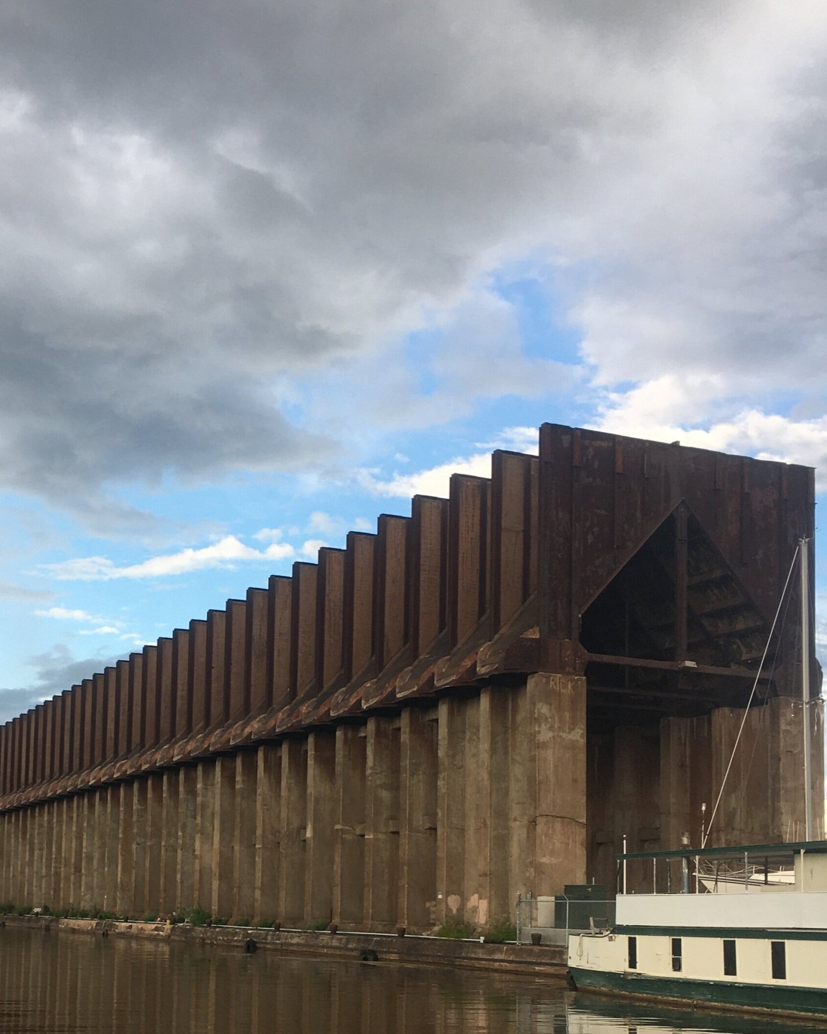
Industry expanded along the St. Louis River in the late 1800’s as the first railroad was constructed and ship traffic increased. Sawmills, oil refineries, iron ore docks, paint factories, steel and paper mills, and meat-packing plants were built along the banks.
In a time with little regulatory protection, a variety of heavy metals and pollutants being discharged into the water led to the disappearance of habitat and wetlands.
In 1989 the St. Louis River was designated one of 43 impaired Areas of Concern in the Great Lakes. State agencies, tribal agencies, federal authorities, private entities, and nonprofits continue to work to remove beneficial-use impairments and restore habitat so that the estuary can be delisted. To restore the river, partners are removing polluted sediment, planting wild rice, monitoring fish and wildlife, and protecting islands and shoreline.
Indigenous Presence
The St. Louis River Estuary is full of places of significance to Ojibwe people. The “Onigamiinsing Dibaajimowinan (Duluth Stories)” project is a great resource for learning about significant sites that were identified by the Fond du Lac Band of Lake Superior Chippewa. Click the button below to visit the website and explore their interactive map.


